
AVAILABLE
INTEGRATED LOGISTICS COMPLEX — ITAPOÁ
Terreno Itapoá II
Avenida Saí Mirim, Barra do Saí — Itapoá, SC
11.781.568m²TOTAL AREA
ABOUT THE LAND
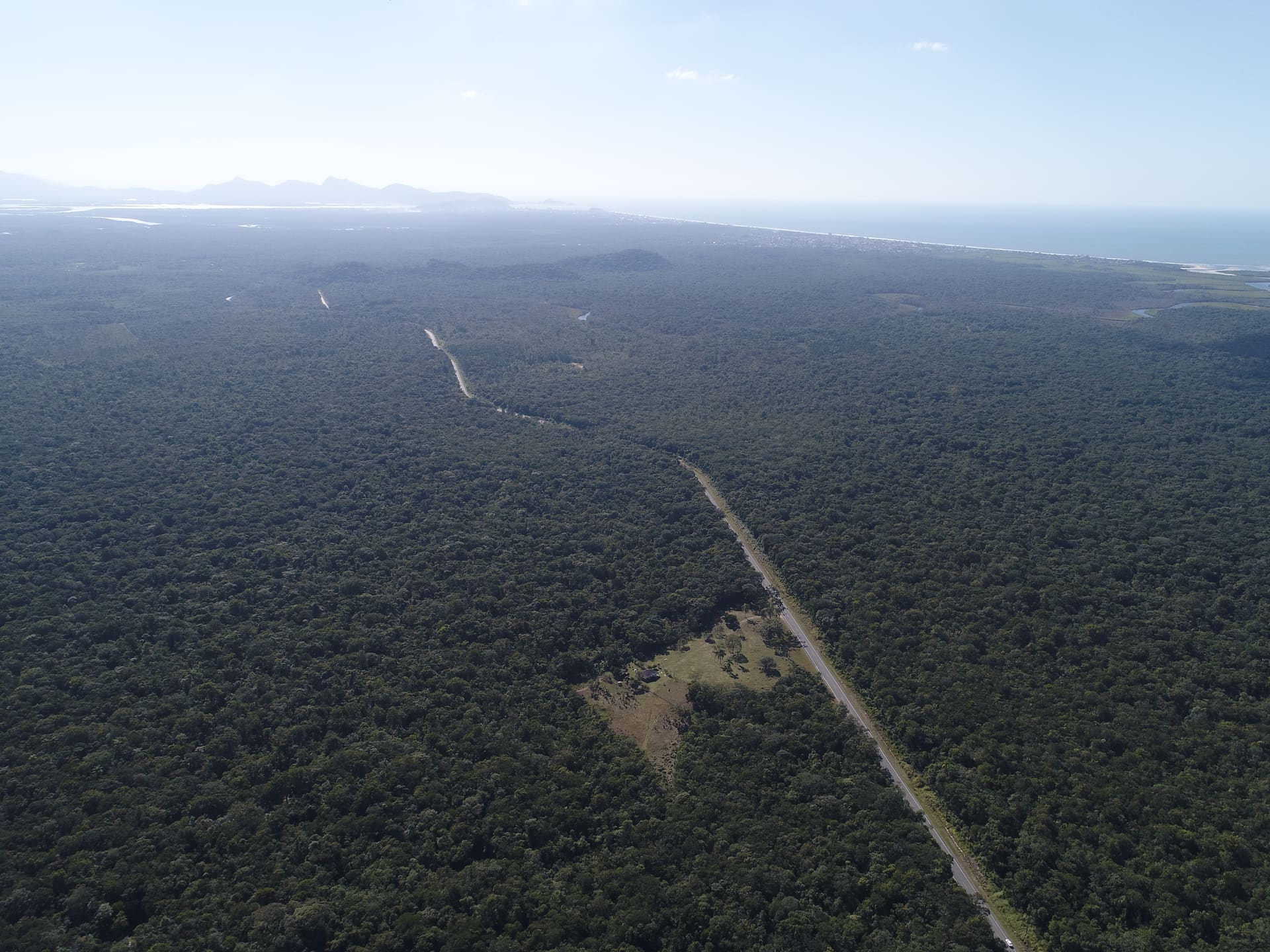
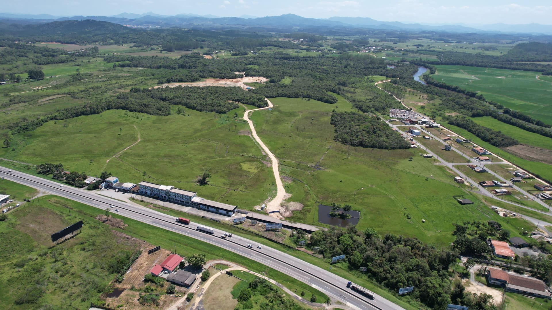
Terreno Itapoá II is one of the largest continuous parcels available for logistics and industrial development in northern Santa Catarina. With a total area of 11,781,568 sqm, the land is located on Avenida Saí Mirim, in Barra do Saí, Itapoá, 14 km from the Port of Itapoá. Complementary to Terreno Itapoá I, with which it shares direct frontage, the property enables integrated operation across both parcels — creating a logistics complex of exceptional scale exceeding 21 million sqm.
LOGISTICSINDUSTRIAL
TECHNICAL SPECIFICATIONS
Total Area11.781.568 m²
Usable Area—
FrontageDirectly faces Terreno Itapoá I — complementary plots
Topography—
Zoning—
Building Potential—
Occupation Rate—
Permeability Rate—
PHOTO GALLERY
STRATEGIC DISTANCES
Port of Itapoá
14 kmBR-101
30 kmBMW plant
97 kmPort of São Francisco do Sul
127 kmPort of Navegantes
145 kmPort of Itajaí
170 km
Interested in this land?
Our team presents full technical documentation and discusses the best path for your project.